Just when you thought you knew Toronto like the back of your hand, you’ll now have to get acquainted with some new neighbourhoods. In an effort to accommodate density growth, the City of Toronto has updated the boundaries of high-growth neighbourhoods, creating 34 brand new ones in the process.
These neighbourhoods, which the City refers to as “social planning neighbourhoods,” have been unchanged for the past 25 years.
Now, with population numbers provided by 2016 Census data, the neighbourhoods will be split into 34 new ones in order to support effective planning in each region. This means that the city now has 158 neighbourhoods in total.
The City has released a map indicating where the new neighbourhoods are, with a red line indicating where the original neighbourhood was split into new ones.
Recent Posts
These are Canada’s most reputable companies & only 3 are Canadian
Here’s when High Park’s cherry blossoms are set to bloom, according to an expert
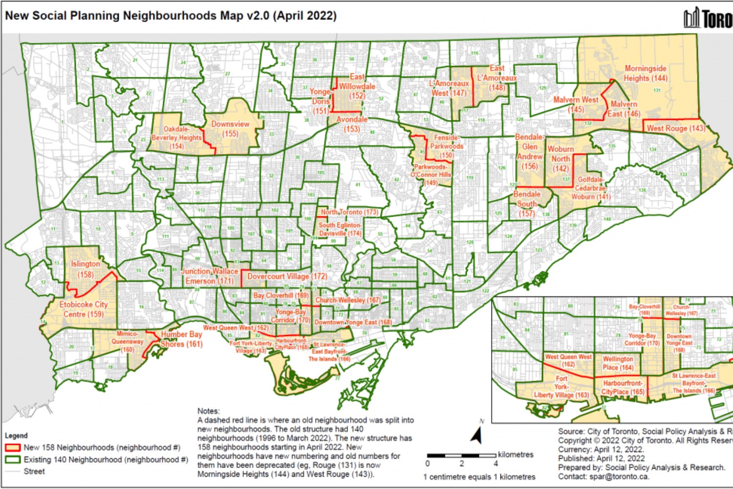
For example, Downsview-Roding-CFB in the Downsview Park area is now two neighbourhoods — Oakdale-Beverley Heights and Downsview.
Other new neighbourhood names include Yonge-Doris and East Willowdale in North York, North Toronto and South Eglinton-Davisville in Midtown.
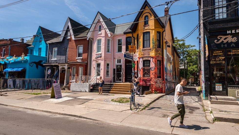
There are a total of 9 new neighbourhoods in the downtown core, including Yonge-Bay Corridor, Downtown Yonge East, Bay Cloverhill, West Queen West, Fort York-Liberty Village, Harbourfront-City Place, St. Lawrence-East Bayfront-The Islands, and Church-Wellesley.
According to the City, the neighbourhoods were named after various features of the area, including “historical information, prominent features, landmarks, or institutions, colloquial names and other socio-cultural information.”
The City has an online tool that allows you to search up your neighbourhood and its name. You might discover that you now live in a brand new part of town!

Lilly Paltsev
Regional Editor, Toronto – Lilly is an editor with over five years of experience in local news and digital publishing. Having lived in Toronto her whole life, she’s always aware of what’s new in the city. She’s everyone’s go-to resource for the best things to do. Her mission is to make Curiocity’s readers feel excited about where they live and to infuse the world with positive vibrations.
Read articles


