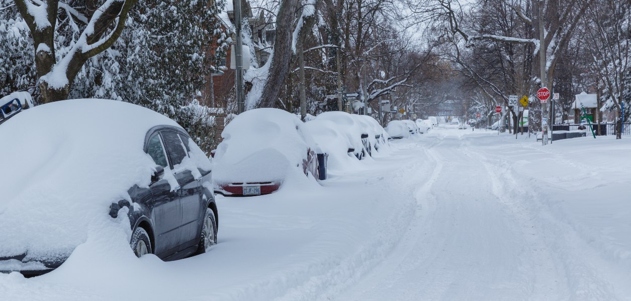
Looks like we haven’t seen the end of Toronto’s snow storm just yet. A weather advisory remains in effect for the city saying that the snow is set to pick back up by this afternoon after a brief break this morning.
Weather outlets have been calling for a 2-day storm that would bring up to 25 cm to the city by Friday.
However, according to Environment Canada, we may only get another 4 to 8 cm by the time the snowfall comes to an end at around midnight tonight.
Drivers are asked to prepare for reduced visibility on the roads as high winds cause blowing snow to form, especially in open areas.
“Prepare for quickly changing and deteriorating travel conditions,” the advisory says. “Take extra care when walking or driving in affected areas.”
Recent Posts
You can now get free 10-minute grocery delivery until 2 AM in Toronto
Toronto’s poutine festival has begun & the creations are over-the-top
View this post on Instagram
Parts of Toronto are still dealing with the impacts of the massive storm that hit on January 17.
Toronto’s Pearson Airport recorded a total of 33 cm that day, which is the exact same amount recorded by the airport on January 28th and 29th, 2019. As for the highest totals ever recorded, Pearson hit 45 cm in February of 1965 and 43 cm in January of 1966.
After yesterday’s rainfall, today’s snow and colder temperatures could make cleanup efforts even more challenging.
“Any rain could lead to flooding with clogged storm drains, and then exacerbate the risk of a flash freeze. Icy precipitation would further solidify what’s already on the ground. It would be a mess on top of a mess,” stated The Weather Network earlier this week.
Now all that’s left to do is to ride out the storm, prepare for the worst and hope for the best!


