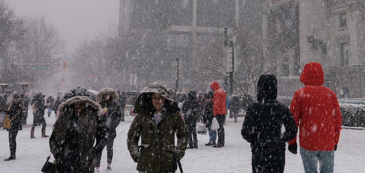
Well, Vancouver, we thought we’d already had our final winter blast, but apparently not. After some pretty intense snow over the weekend, an official snowfall warning was issued on Monday afternoon. And now, the warning has been extended to Tuesday, February 28th.
According to Environment Canada, Metro Vancouver residents can expect to see up to 10 cm of additional “rapidly accumulating snow” on Tuesday morning and afternoon, creating “slippery road conditions” and impacting the morning rush hour.
The snowfall warning applies to the following cities and municipalities:
- Burnaby and New West
- West and North Vancouver
- Coquitlam and Maple Ridge
- Surrey and Langley
- Richmond and Delta
The high for Tuesday is expected to reach 3°C, with a low of -2°C tonight. With the wind chill, expect that to feel like -6°C.
Recent Posts:
This popular two-day music festival is returning to Metro Vancouver & the lineup is insane
14 delicious spots for cheap breakfast in and around Vancouver
Slow Tuesday morning commute with more snow across B.C.’s South Coast. Thousands left without power as well. #bcstorm https://t.co/kgbMOQhos1
— The Weather Network (@weathernetwork) February 28, 2023
What’s more, a new report by The Weather Network encourages BC residents to prepare for “multiple rounds of additional snowfall” this week.
“As of early Tuesday, more than 13,000 people were without power on Vancouver Island and the Southern Gulf Islands, with 4,000 left in the dark in West Vancouver and Sechelt.”
According to TWN, bands of snow are crossing the Strait of Georgia and moving closer to downtown Vancouver, with the potential to bring “up to 10 cm of snowfall.”
What’s next? A front will roll down the coast Wednesday night, bringing wet snow across higher elevations (200+ metres). As for Metro Vancouver, we’ll have to keep an eye on the forecast and stay up to date with highway driving conditions.
Stay safe out there, Vancouver!


