Striking photos capture Vancouver's lightning show during 'storm of the century'
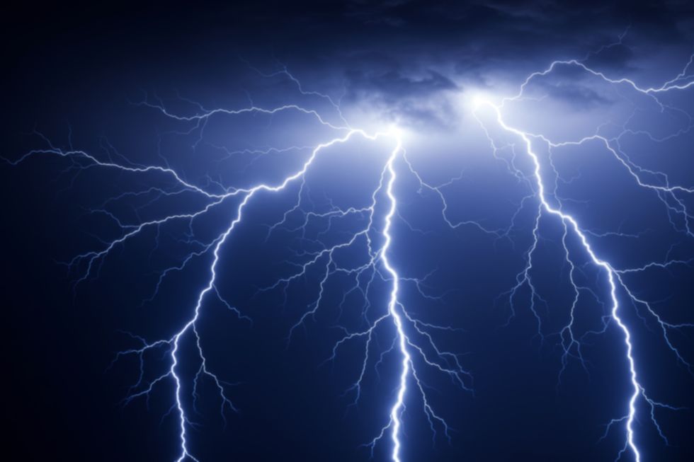
Vancouver has definitely had more thunderstorms this summer than any we can recall, but the one that struck the city this past weekend was truly one for the books.
In fact, The Weather Network is calling it one of the greatest thunderstorm events of the century on the South Coast, due in part to its impressive duration as well as the rare combination of atmospheric elements that made it possible.
The lengthy storm unfolded across the Lower Mainland and Vancouver Island late Saturday night, with a total recorded rainfall of 40 mm across five hours and 39 minutes.
The intense lightning and crackling thunder were what stole the show, of course.
Several posts documenting the spectacular lightning show are making their rounds on Reddit right now, including breathtaking shots over the water in English Bay and downtown.
“That was probably the wildest thunder and lightning storm I’ve experienced living here,” says one Redditor.
“Got absolutely robbed of this experience in Surrey. So disappointing,” laments another.
Last night's show was incredible
byu/PleaseOfThePi invancouver
Lightning strike seen from DT, 240fps
by
u/Peterthemonster in
vancouver
Thunderstorm from Iona in Richmond
by
u/markipper in
vancouver
How did the storm occur?
According to The Weather Network, after starting across southern Vancouver Island, the thunderstorm spread to the Strait of Georgia by 10 p.m., making its way to Metro Vancouver in the next hour.
“A small, weak low-pressure system appears to have become established near the central Strait and Metro Vancouver starting at 11 p.m. and lasting through 2 a.m., with convection continuing to regenerate around the centre of circulation,” explains The Weather Network.
How did the storm grow to such proportions, you may ask? Well, The Weather Network attributes this to the “unusually deep moisture” that blanketed the city over the first half of the weekend. Specifically, dew point values of around 20°C at YVR International Airport.
The other key was a “potent upper-level trough,” which provided the instability required to fuel the storm. Despite surface temperatures dipping below 20°C, a sharp contrast with cold air allowed surrounding air to rise and feed the thunderstorm updrafts.
The Weather Network adds that storm energy alone wasn’t responsible for the continuous streams of lightning.
“Much of a thunderstorm’s electrical charge separation occurs in a region of the storm with temperatures around -10°C to -20°C, where supercooled water, ice crystals, and graupel coexist and can collide with each other.”
This is what led Saturday night’s thunderstorm to reach more than 9 km high, producing updrafts that sustained repeated lightning for hours. If you were anywhere near a window or balcony during the storm, you couldn’t have missed it. Heck, even with our eyes closed, we could see it!
“One particularly interesting element of this event is that the thunderstorms appear to have enhanced the pressure changes and wind flow around the small centre of low pressure, which may have led to a feedback cycle that helped storms persist and regenerate for hours on end.”
It’s not every day that Vancouver gets a front-row seat to a thunderstorm of these incredible proportions. So if you’re a lover of thunder and lightning, we hope you were around to soak it all in! The rain is back in the forecast later this week, but somehow, we doubt it’ll be anything like what the city just experienced.
But here’s to hoping we’re wrong alongside all the other thunderstorm hopefuls in Vancouver.
Recent posts:
This stunning B.C. island has some of the warmest waters north of Mexico
Everything to know about Vancouver’s first-ever block party off Broadway